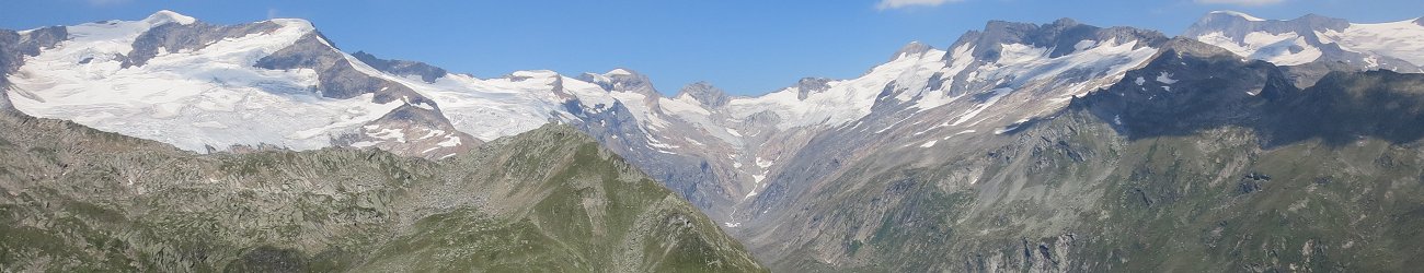
This is a four day hike in the Rätikon mountains, at the Austrian-Swiss border. The route follows a ring, with 3 huts to stay in (2 of them on the Swiss side). The full route can be found here.
DAY 0 (Wed, 14th Aug): Reaching the area around Bludenz / Vandans (for those who do not want to take an extra day off, there is a night train option - see the Transport section for more details).
DAY 1 (Th, 15th Aug): Start from Vandans (11 minutes by local train from Bludenz) in the morning, aligned with the arrival time of the night train from Vienna to Bludenz (between around 7 am and 8 am plus time for breakfast), finish at the hut Lindauer Huette; ca. 15km, 1600 m up, 600 m down (possible to reduce to 12 km, 1300 m up and 300 m down when skipping one peak; also, possible to extend up to 1740 m up and 740 m down when adding one peak). Easy terrain, no technical parts.
DAY 2 (Fr, 16th Aug): Start from Lindauer Huette, finish at the hut Carschina Huette (Swiss side), 12.5 km, 1400m up, 900 m down. Generally, not too difficult. There is no shower at the Carschina Huette.
DAY 3 (Sa, 17th Aug): Traverse on the Swiss side from the Carschina Huette to the hut Schesaplana Huette, 16 km, 420m up and 750 m down. No technical parts.
DAY 4 (Su, 18th Aug): Start from the Schesaplana Huette, going up steeply on the Schweizersteig up onto the Schesaplana (the highest peak on our route, 2965 m asl) and then going down on the Austrian side via the Totalphuette and further down to the Douglashuette, from where we can either go down additional almost 400 m or take the cable car (Luenerseebahn). From the bottom station of the cable car there is a bus going down to Bludenz (the last one leaves at around 5 pm), from where it is possible to take the night train back to Vienna. Assuming we take the cable car down, day 4 sums up to roughly 9 km, 1050 m up and 950 m down. CAUTION: The Schweizersteig is a bit technical, quite exposed and steep (you do abut 850 up on a 3km distance). You need to have a helmet with you. Please watch this video before signing up for the hike (you can also read this description - or any other you find online).
Accommodation and costs: At all three huts, we sleep in multi-bed rooms (one night in Mehrbettzimmer, the other two in Lager). The cost of halfboard varries between 62 EUR at the Austrian hut to between 70-78 and 79-93 CHF on the Swiss side, depending on whether the Swiss recognize the ACV-membership or not. Drinks (and showers) are not included.
At the huts, there is a fee for last-minute cancellations and no-show. Therefore we request a deposit of 90 EUR to be paid before the 31st May 2024.
As it is a mnulti-day hike, we reserve the right to only take people we know on the tour.